
This second article on the Great Northeast Central region of Maroon Country will continue the history of Maroon refuges. From a historical point of view, St. Croix was always a haven for Maroons. The French occupied St. Croix from the 1650s to 1669. From 1669 to 1733, Maroons controlled the island for 64 years. As a result, St. Croix was an uncolonized wilderness when the French left and the island came under periodic occupation by a small group of poor whites and their slaves.
We were taught in school that the Virgin Islands was ruled under seven flags. We forgot to mention in our history that Maroons on St. Croix governed themselves for decades before the arrival of the Danish government in 1734. The Great Northeast Central part of the island, which includes Estate North Star and Mount Eagle, played a significant role in the resistance and resilience of Maroons and slaves in the mountainous region, now part of the territorial park system of the Virgin Islands. Nonetheless, part of the Federal Forest Legacy Program requires that there be a management plan created for any land acquired for parks.
I mentioned in the first article of this series on Maroon refuges in the northeast that Estate North Star was purchased through the Forest Legacy Program to be part of the territorial park system. In other words, the land belongs to the people of these islands. Ridge to Reef Consulting received a contract from the Department of Agriculture, Division of Forestry under the Forest Legacy Program to develop a management plan for Estate North Star.
Nate Olive was the principal investigator tapped to develop the management plan for the site, along with local historian George F. Tyson, Michael Morgan and myself. However, I will focus on the history of Estate North Star, which included occupation by landowners and Maroons.

According to Tyson, Estate North Star was one of the last plantation grounds to be surveyed and sold on St. Croix in the late 1750s. Danish documents, however, show that the plantation grounds were greatly impeded by harassment by Maroons who occupied the dense tropical forest and steep terrain of Mount Eagle.
Because of difficulties with the Maroons’ harassment, the original boundaries of the property proved to be imprecise. In the 1820s and 1830s, the owners agreed to surrender their long- contested area of the land to neighbors on the south and east, which reduced the size of the property to about 100 Danish acres. In the Danish historical records of 1882, its official size was readjusted upward to 108 acres. Since then, other studies have been done that created parcels of land with North Star plantation. According to Tyson, the earliest historic maps of the site date from 1647,1667, and 1750 when Estate North Star was unoccupied and in dense forest.
“According to the survey records cited above and other evidence, it was inhabited by the northside Maroons until at least the 1750s. Thereafter, its northern reaches continued to provide shelter for temporary encampments of runaway slaves as late as the 1820s (Rigsarkivet 1749;1797;1822),” noted Tyson. There are other maps, like Cronenberg-Jagersberg of 1750, showing the northwest quadrant from Salt River Bay to Hams Bluff Maroon Country as wilderness. No settlement was recorded in land tax registers.
The Beck map of 1754 also shows the area from Davis Bay (where Carambola Beach Resort is located today) to Hams Bluff as unsurveyed. No settlement is recorded in land tax registers of this period as well. According to the Danish land and head tax record, the original owner of Estate North Star, J.H Michelsen, had one to three enslaved persons living with him and 19 slaves between 1753 and 1755. In April 1755, Michelsen sold the eastern half of the property to Mads Cragh, owner of the adjoining plantation ground of Northside B. Quarter.
Cragh had 35 enslaved laborers. On July 1, he sold his holding with 15 slaves to Dr. Lorentz Grundel, who cultivated and processed cane on the property. Two year later, Grundel acquired the other half of the property, Northside B Quarter, from Michelsen, thus creating a 242-acre plantation that became known as Estate North Star. However, when Michelsen had the property, he engaged in timber harvesting rather than commercial agriculture. This timber harvesting was the case throughout Northside A and B Quarter at that time. However, up until 1890s, the upland of Mount Eagle was still a dense tropical forest.
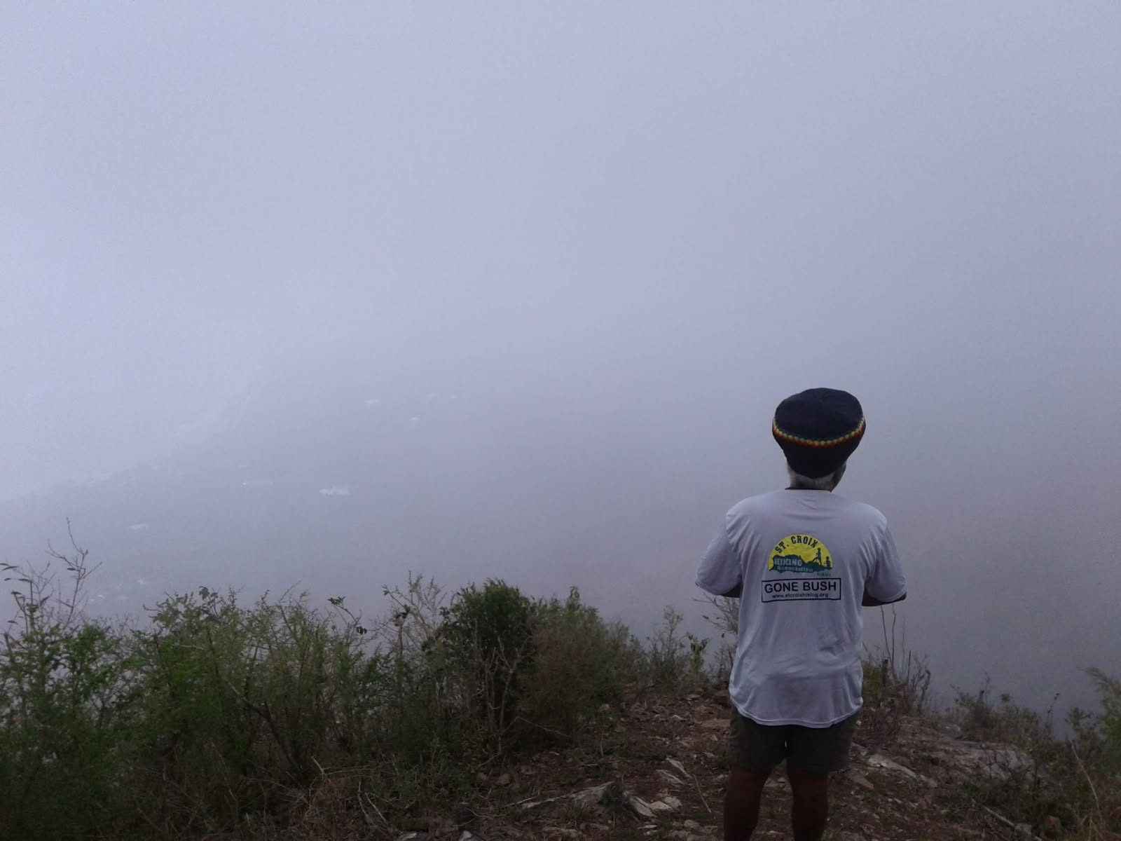
In 1895, Alfred Edmund Ricksecker, a botanist, mentioned his exploration of Mount Eagle. He stated in his report that, “On January 31 I visited the estate of Canaan, where the hospitable owner spent the day with me in the exploration of Mount Eagle, the highest point on the island. In places the soil was shallow and great broken rocks and dense growths made progress difficult.” He further commented, “The forest of the mountain was quite dense in places, while its north side was so precipitous that it seemed to be almost sheer to the ocean.”
This description of Mount Eagle by Ricksecker gave us insight into the forests in the area and the solitude the runaway slaves had in the mountain and deep valleys of North Star and the rolling hills of Parasol and Solitude Estate, south of North Star and Mount Eagle, which are now part of the newly establish territorial park. Nevertheless, by the end of 1758, Grundel had 53 enslaved laborers on his property, 15 of whom were classified as runaways or Maroons.
In the third article of this series about Maroon Country northeast central, I will pick up from where I left off — where the rugged terrain of Estate North Star and Mount Eagle was a haven for runaway slaves.
Read Part 1 here: Op-Ed: Exploring the V.I.’s Maroon Country
— Olasee Davis is a bush professor who lectures and writes about the culture, history, ecology and environment of the Virgin Islands when he is not leading hiking tours of the wild places and spaces of St. Croix and beyond.


