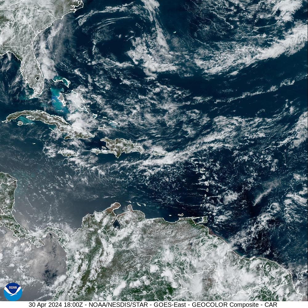
The National Weather Service in San Juan, Puerto Rico, has noted that an unstable weather pattern with possible rain and thunderstorms is expected across the region throughout the week. The seas will be choppy, and marine alerts are in effect.
“From mid-week onwards, instability and moisture levels [will] increase once again as a mid to upper-level trough [an area of low pressure] lingers over the western Atlantic, and lighter east to southeast winds return,” according to an update on Tuesday from the NWS. “Coastal and marine conditions will remain hazardous through at least late Wednesday,” the update continued.
Periods of intermittent rainfall may occur over the next few days. However, any additional precipitation across portions of Puerto Rico and the U.S. Virgin Islands could lead to flash flooding due to already very saturated soils.
“The main impacts are urban and small stream flooding, localized flash flooding, and mudslides in areas of steep terrain,” the NWS warned.
The NWS explained that the current unstable weather is forecast to continue through at least the end of the workweek and possibly into the weekend. With Carnival celebrations occurring across the USVI, residents and visitors are encouraged to monitor weather notifications and be aware of the potential for severe weather, including thunderstorms with lightning.

Additionally, seas will be hazardous due to a swell impacting the islands and gusty winds generating wind-driven, choppy seas. Marine alerts are currently in effect for portions of both Puerto Rico and the USVI, including a Small Craft Advisory and a High Rip Current Risk until at least the early hours on Thursday morning. Wave heights could reach up to nine feet across certain areas.
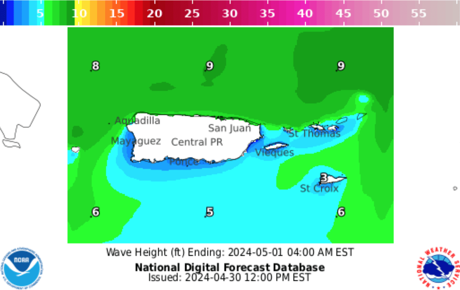
“As a result, expect hazardous seas for small craft operators due to confused seas associated with the increasing winds and a northeasterly swell spreading across the local waters,” the NWS stated.
Follow Current Weather Updates
USVI visitors and residents can find information about the weather, including severe weather alerts and marine weather updates, from the Virgin Islands Territorial Emergency Management Agency website and the National Weather Service.
A daily weather post is also published on the Source Weather Page, where readers can view weather forecast videos and disaster preparedness video segments.


