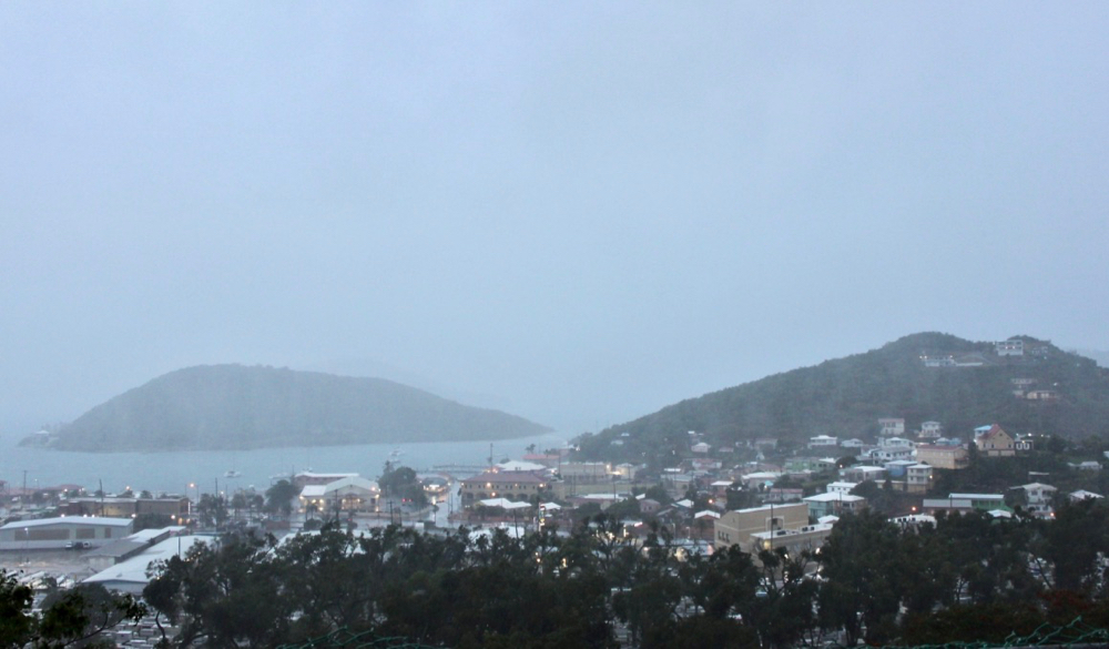
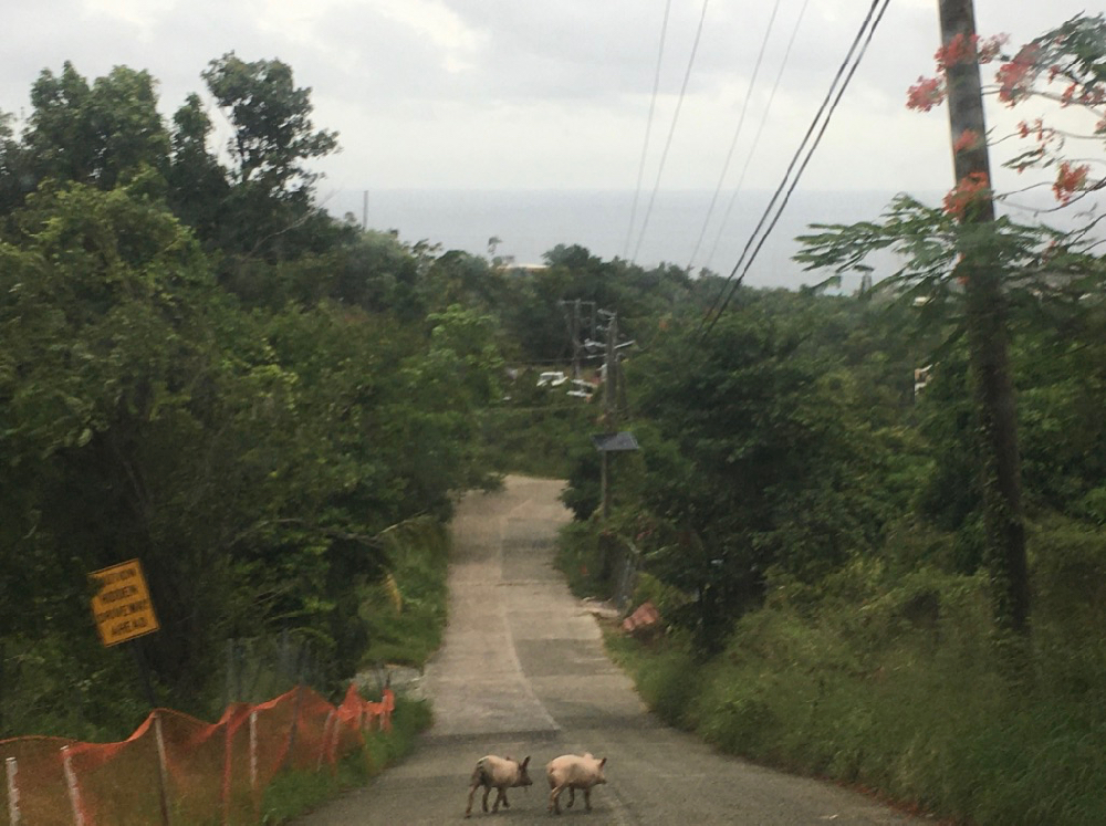
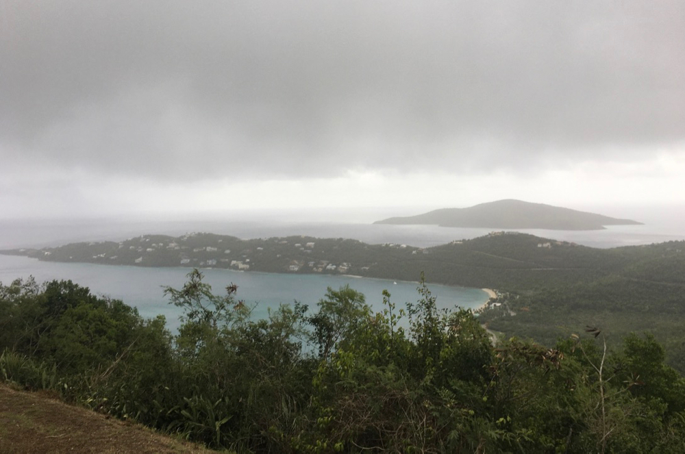
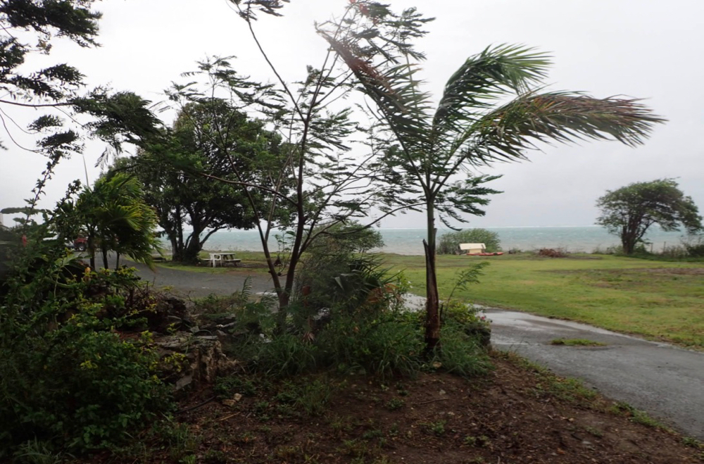
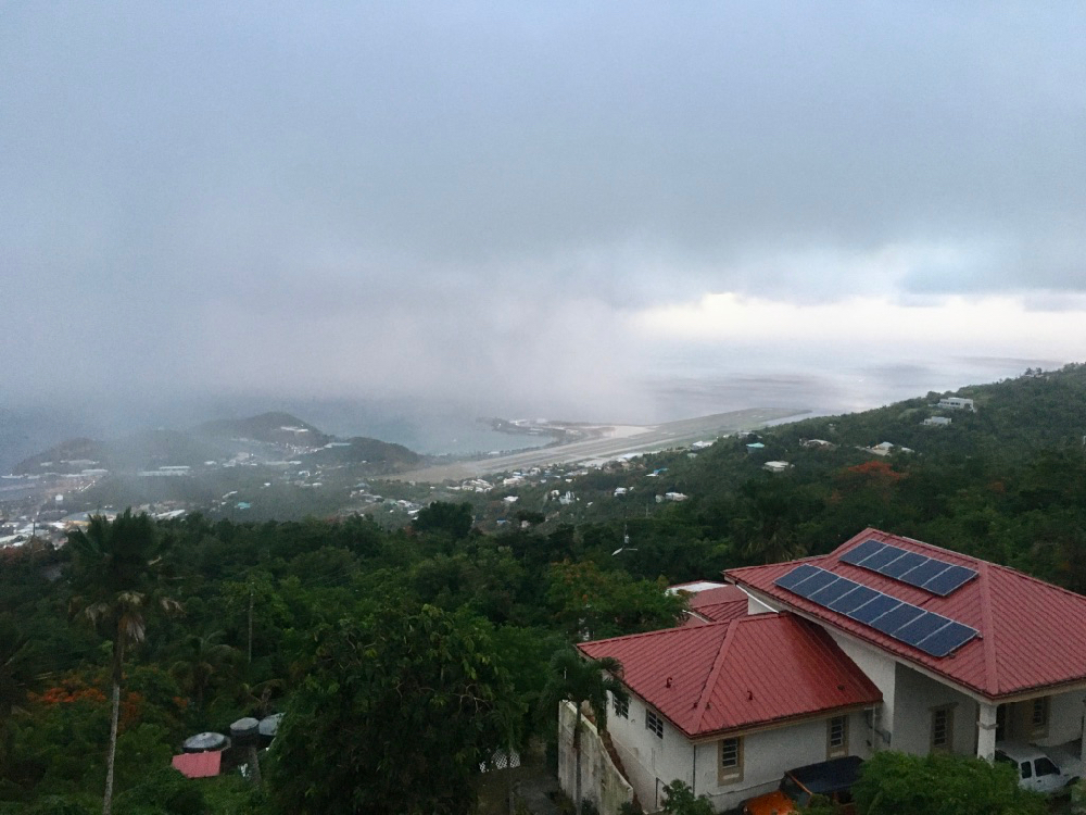
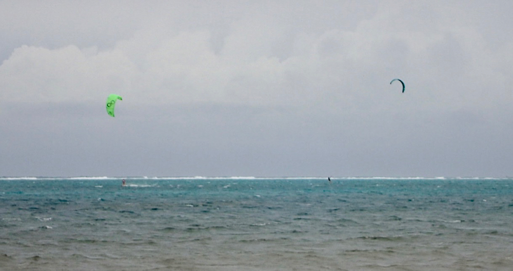
Source photographers captured these images as Tropical Storm Laura passed through the territory Friday and Saturday.


Source photographers captured these images as Tropical Storm Laura passed through the territory Friday and Saturday.

Unlike many news organizations, we haven't put up a paywall – we want to keep our journalism as accessible as we can. Our independent journalism costs time, money and hard work to keep you informed, but we do it because we believe that it matters. We know that informed communities are empowered ones. If you appreciate our reporting and want to help make our future more secure, please consider donating.


Since 1999 the Virgin Islands Source – the only online newspaper of general circulation in the U.S. Virgin Islands – has been providing the community with reliable, accurate and balanced local journalism.
Contact us: visource@gmail.com
© 1999-2025 Virgin Islands Source
